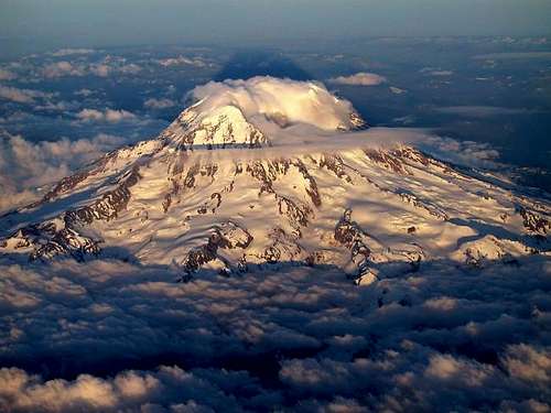
Since we were working with digital elevation models (DEMs) for this lab, I decided to choose an area with a drastic changes in elevation: Mount Rainier in Washington. Mount Rainier is one of the most dangerous volcanoes in the world and is the highest mountain in the state of Washington.
The geographic coordinate system used in the DEM is the GCS North American 1983.
The extent information for this area is:
Top: 46.96°
Left: -121.98°
Right: -121.51°
Bottom: 46.69°
The following map shows a color-ramped DEM layered above a hillshade model:

This next map shows the slope of the area around Mount Rainier in degrees:

The following map is an aspect map, which shows the direction of the slope:

This last model is a 3-D image of Mount Rainier:

No comments:
Post a Comment